About GeoTools, the Java GIS toolkit
GeoTools is an open source (LGPL) Java code library which provides standards compliant methods for the manipulation of geospatial data. GeoTools is an Open Source Geospatial Foundation project. The GeoTools library data...
GeoTools is an open source (LGPL) Java code library which provides standards compliant methods for the manipulation of geospatial data.
GeoTools is an Open Source Geospatial Foundation project.
The GeoTools library data structures are based on Open Geospatial Consortium (OGC) specifications.
Features
- Definition of interfaces for key spatial concepts and data structures
- Open plug-in system allowing additional formats. Plugins supplied for raster, database and geospatial file formats.
- Includes extensions provide additional capabilities using the spatial facilites of the core library. Extensions provide graph and networking support (for finding the shortest path), validation, a web map server client, bindings for xml parsing and encoding and style generation
- Clean data access API supporting feature access, transaction support and locking between threads
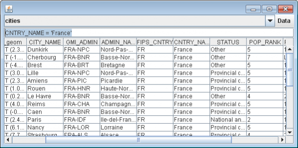
- Vector support for app-schema, arcsde, csv, dxf, edigeo, excel, geojson, org, property, shapefile, wfs
- Spatial Database Support db2, h2, mysql, oracle, postgis, spatialite, sqlserver
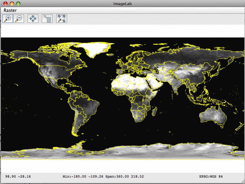
- Raster plugins for arcsde, arcgrid, geotiff, grassraster, gtopo30, image (JPEG, TIFF, GIF, PNG), imageio-ext-gdal, imagemoasaic, imagepyramid, JP2K, matlab
- Powerful schema assisted parsing technology using XML Schema to bind to Java objects.
- XML Bindings for parsing/encoding xsd-core (xml simple types), fes, filter, gml2, gml3, kml, ows, sld, wcs, wfs, wms, wps, vpf.
- Rendering engine configured with OGC Standard Style Layer Descriptor files. Renderer is stateless, allowing low memory use particularly useful in server-side environments.
- Referencing using ESPG Database
- OGC Standards Support SLD/SE,Simple Feature,Grid Coverage, Filter/CQL,WMS,WFS,WPS, KML
Previous Versions
Here you can find the changelog of GeoTools, the Java GIS toolkit since it was posted on our website on 2015-04-25 03:00:00.
The latest version is 21 and it was updated on 2024-04-19 23:36:00. See below the changes in each version.
GeoTools, the Java GIS toolkit version 21
Updated At: 2019-06-27
GeoTools, the Java GIS toolkit version 2.7.0
Updated At: 2011-04-05
Changes: Several fixes and updates
Disclaimer
External Download
We do not host GeoTools, the Java GIS toolkit on our servers. We did not scan it for viruses, adware, spyware or other type of malware. This app is hosted by the software publisher and passed their terms and conditions to be listed there. We recommend caution when installing it.
The external download link for GeoTools, the Java GIS toolkit is provided to you by apps112.com without any warranties, representations or guarantees of any kind, so access it at your own risk.
If you have questions regarding this particular app contact the publisher directly. For questions about the functionalities of apps112.com contact us.